This opinion article was written by Penny Beames.
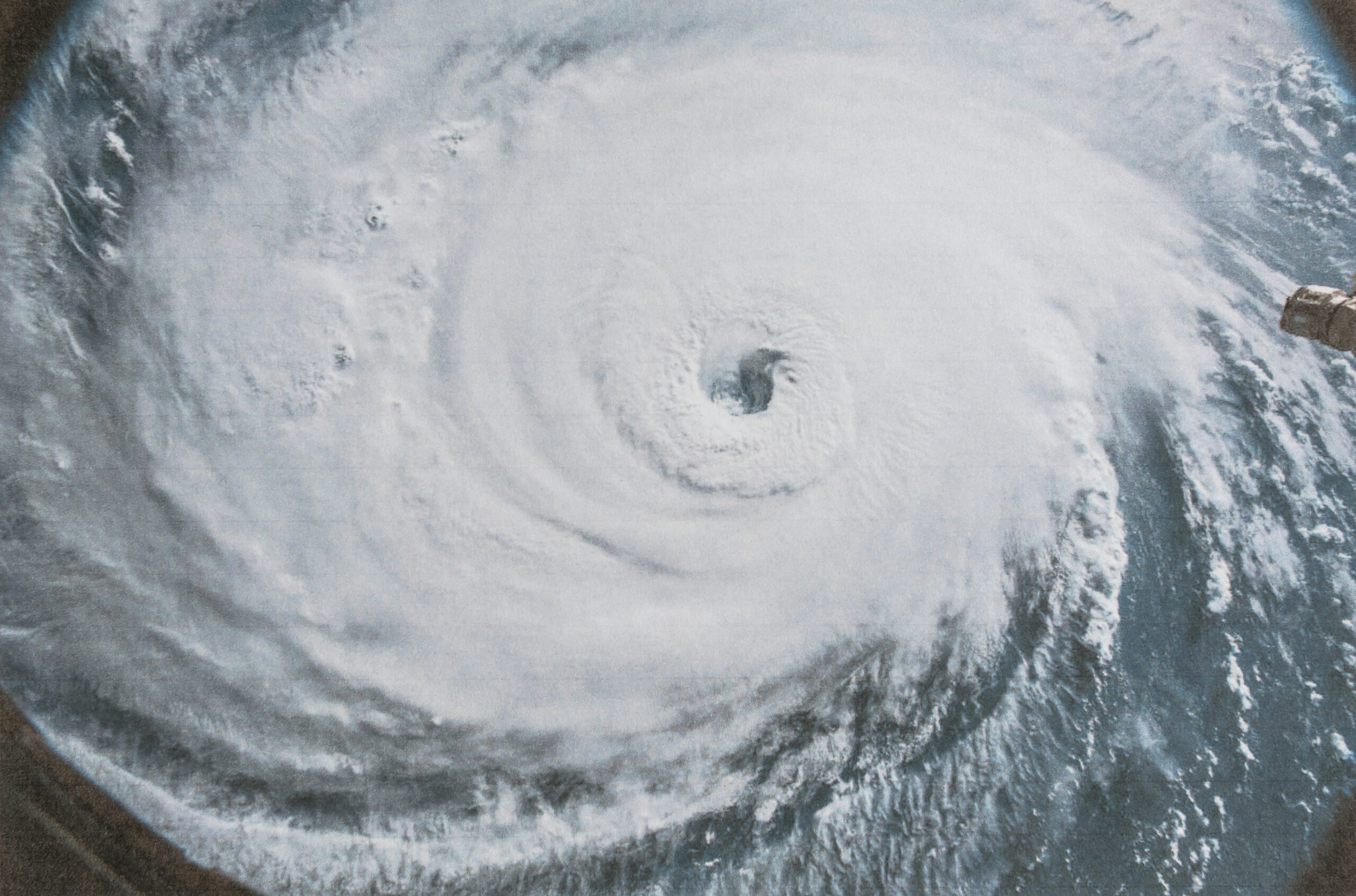
Hurricane Otis was a small storm that ended up making a big impact.
The Category 5 hurricane smashed into Acapulco, Mexico on October 25, and took homes, infrastructure, and lives with it. But two days earlier, forecasters thought the city would be hit by a run-of-the-mill tropical storm.
So what happened? How did forecasters miss such a drastic change?
The answer is—it’s complicated.
There are environmental conditions at play. Sea surface temperatures just off the coast were hovering around 31ºC/88ºF, which is far warmer than average for this time of year. Warm water and moist air drives the kind of rapid intensification Otis underwent as it approached land. Wind shear, which can destabilize storms, was weak at the time.
There are also scientific considerations. Though hurricane forecasting has improved dramatically, models struggle to predict substantial changes in smaller storms. And Otis was fairly compact. It’s also tough to accurately predict storms that intensify at a record-breaking pace. It wasn’t until aircraft were able to fly into the storm that forecasters could track its rapid increase in wind speed.
By then, it was too late to issue adequate warnings to the people of Acapulco. The storm’s wind speed increased by a blistering 110 mph in about 24 hours and it ultimately made landfall as the strongest storm to ever hit Mexico’s Pacific coast.
Experts contend that this kind of rapid intensification will be more frequent as global warming shifts the climate. Better technology could help better understand this phenomenon. So, too, would an increase in the number of rapidly intensifying storms. There have thus far been few examples to study and little data to draw from.
We’ll also need investments in improved, higher resolution hurricane models that analyze smaller storms. Because if small storms are going to pack this much punch, we’ll all need to know about it.