This opinion article was written by Geospatial-Intelligence Program Manager Nicholas Roberge.
My Path in Geospatial Intelligence
I have always envied those that knew what they wanted to do in life. I’ve jumped around from working on farms, painting, retail, military, teaching in Japan, NASA, and now here at the Global Water Security Center (GWSC) as the geospatial-intelligence (GEOINT) program manager. It’s been a long and often misguided path to get here, but I can finally say I’m doing something I could see myself doing long-term.
Early Beginnings
My formal journey started when I enlisted in the Air Force. Like many that enlist, I did not have much of a plan other than wanting to get out of my current situation. I like to say that I ran out of reasons to not join. I ended up signing up as “open general,” which was essentially a blank check to the Air Force to give me any job they wanted, but I lucked out and was assigned GEOINT analyst.
I was first introduced to Geographic Information Systems (GIS) while working at the National Geospatial-Intelligence Agency (NGA), but it was not until years later that I would truly pursue that path.
A Fork in the Road
After six years of active duty, I decided to go into the private sector, but I started going back to school while waiting for my contract to start. I found myself really appreciating being back in the classroom again after a first attempt many years before so I decided to stay in school and pursue a career in Japanese-American relations instead of contracting.
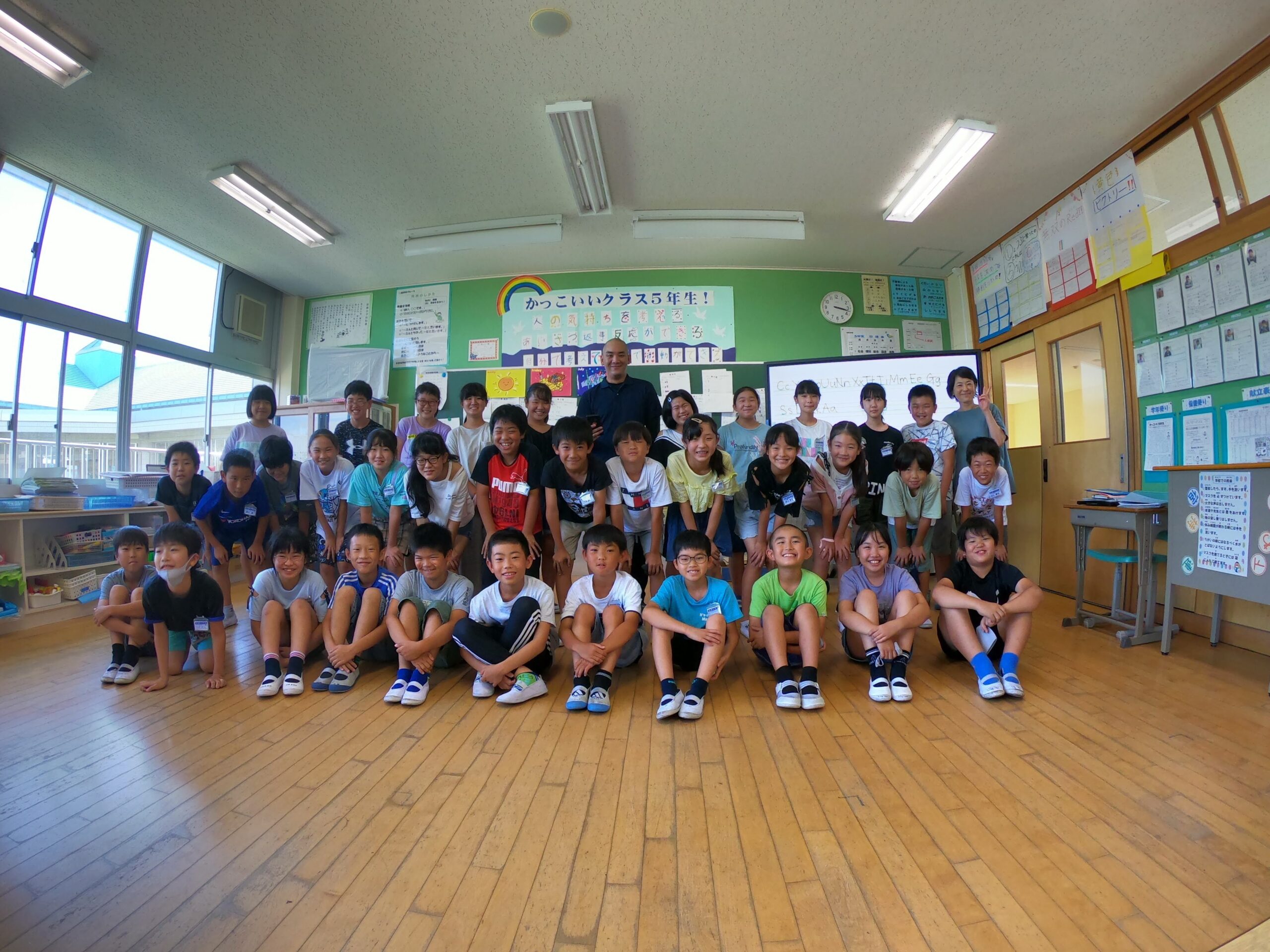
A life-altering meeting with my future wife while studying in Japan changed my career path once again, but at this point I was close to graduating, so I stuck with the original plan of working in Japan and ended up teaching English until I could figure something else out. What was supposed to be a short-term solution, turned into two years as COVID hit the world and the town I lived in was hit by the worst typhoon that region had seen in living memory.
Switching Focus to GIS
I started searching for a way forward again, and with my Wisconsin GI Bill, I found the solution through the University of Wisconsin’s GIS programs. I started in their online master’s program with the intent of getting into GIS/web map development. I pushed myself to the limit, teaching and going to school full time, but it paid off when I was accepted into the NASA DEVELOP program.
I leveraged my typhoon experience into a desire to learn more about geospatial analysis of disasters. Through DEVELOP, I was able to get some more practical experience in GIS and the chance to analyze weather and water data. This experience eventually helped me land my current role at GWSC.
Current Role and Future Aspirations
GWSC hired me on as its first analyst in early 2022. The position happened to be an intersection of all my professional interests and experience: intelligence analysis, GIS, cartography, and water security. I was excited at the prospect of coming in from the very beginning and having a voice in shaping the organization and the deliverables.
Over two years later, we’ve nearly tripled our staff and are producing multiple reports simultaneously – something that would take me nearly a month to accomplish by myself in the early days (and nowhere near the complexity of today’s).
Looking forward, I hope to incorporate more complex visualizations using 3-d software and have more opportunities to create interactive tools and webpages.
Conclusion
In retrospect, I have an appreciation for my unconventional path to get to where I am today. I have been fortunate to land somewhere that has allowed me to really explore my own cartographic style and further my analysis and coding skills. For those looking to get into GEOINT, GIS, or cartography, there are many paths to get there and so many fields that utilize those skills.