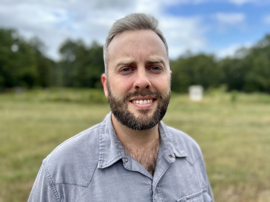
Zach Goodwin is a cartographer broadly interested in human geography. His past work has considered the interactions between humans, their larger communities, and the local ecosystems in which they are embedded. He is passionate about taking complex spatial data and translating that into maps and data visualizations that capture interest, spark conversation, and enhance decision-making.
Most recently, he worked with the Georgia Department of Natural Resources where he managed the conserved lands database and assisted revising Conservation Opportunity Areas for the decadal State Wildlife Action Plan. Previous work experience includes a variety of freelance map & GIS projects, serving as a Graduate Teaching Assistant with the Mansfield Center at the University of Montana, and a variety of conservation-oriented field positions.
Goodwin received his Master of Science in Environmental Studies and GIS Certificate from the University of Montana and his Bachelor of Science in Psychology from the University of Georgia. He currently lives in Georgia with his family on their 5-acre homestead.

